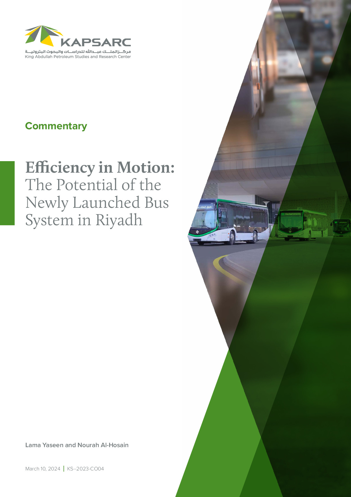
The King Abdulaziz Project for Public Transport in Riyadh city is one of the world’s largest urban transit systems being developed. The project aims to meet the demands of the city’s growing urban population while reducing traffic congestion, heavy private car dependence and air pollution. The performance of any public transport system largely depends on its accessibility. Therefore, this study evaluates the populations’ access to Riyadh’s public transport stations using network analysis tools based on geographic information systems.

Efficiency in Motion: The Potential of the Newly Launched Bus System in Riyadh
The King Abdulaziz Project for Public Transport in Riyadh city is one of the world’s…
10th March 2024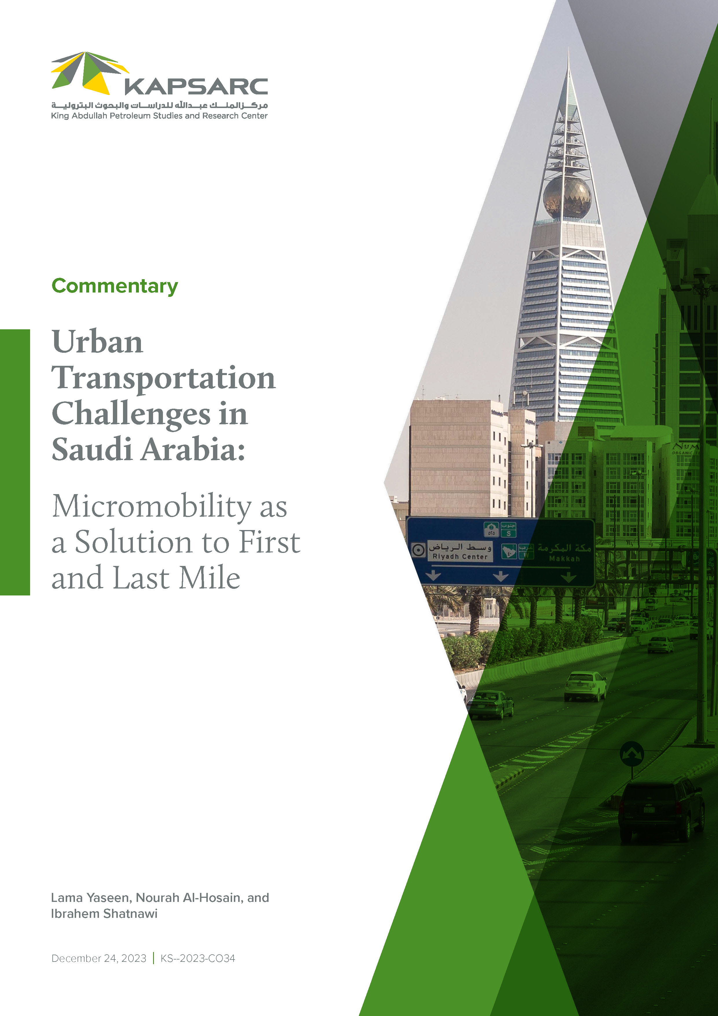
Urban Transportation Challenges in Saudi Arabia: Micromobility as a Solution to First and Last Mile
The King Abdulaziz Project for Public Transport in Riyadh city is one of the world’s…
24th December 2023